


Marine Ways
Descrizione di Marine Ways
AVVERTENZA:
MARINE WAYS NON RAPPRESENTA ALCUN ENTE GOVERNATIVO E NON FORNISCE O FACILITA ALCUN SERVIZIO GOVERNATIVO.
MARINE WAYS NON È AFFILIATA AL NOAA E NON RAPPRESENTA IL NOAA.
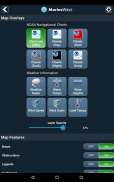
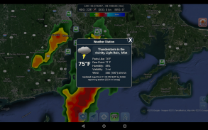
STRUMENTI DI PIANIFICAZIONE DEL PERCORSO
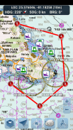
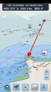
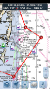
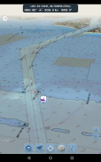
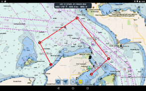
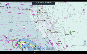
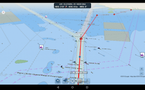
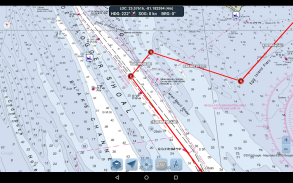
- Tracciamento del percorso. Tocca e tieni premuto sulla mappa per un secondo per tracciare i tuoi waypoint. Per creare un percorso, continua a toccare e tenere premuto sulla mappa in diverse aree. Distanza e direzione vengono calcolate e visualizzate in modo pratico per ogni tratta mentre aggiungi, modifichi o rimuovi waypoint.
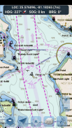
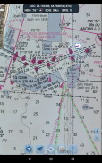
- Modalità di viaggio. Centra automaticamente la mappa sulla tua posizione attuale mentre ti muovi. Usa la modalità di viaggio per vedere quanto stai seguendo il percorso tracciato in tempo reale!
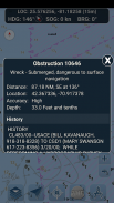
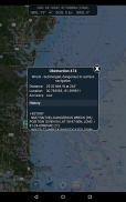
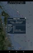
- Riepilogo del percorso. Una comoda visualizzazione contenente informazioni dettagliate su ogni tratta tracciata, incluse coordinate di inizio e fine, distanza e direzione.
Buon divertimento con l'app! Marine Ways è disponibile anche sul web all'indirizzo http://www.marineways.com
Marine Ways - Versione 1.81
(11-06-2025)Marine Ways - Informazioni APK
Versione APK: 1.81Pacchetto: com.marineways.androidUltima versione di Marine Ways
Altre versioni


App nella stessa categoria

Potrebbe piacerti anche...


